Assimilation of Remote Sensing Data into a Conceptual Rainfall-Runoff Model for Hydrological Forecasting Applications
Assimilation of Remote Sensing Data into a Conceptual Rainfall-Runoff Model for Hydrological Forecasting Applications
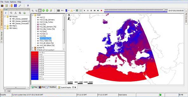
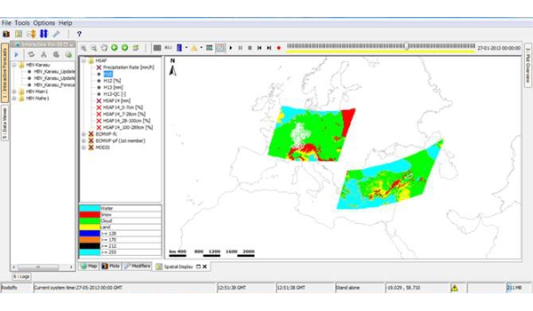
Remote sensing information has extensively developed over the past few years and spatially distributed data for hydrological applications has now become available at high resolution. The implementation of these products in operational flow forecasting systems is still an active field of research, where data assimilation plays a vital role on the improvement of initial conditions of flow forecasts. Most data assimilation methods have focused on the implementation of Kalman filters. As an alternative, we present a variational method based on Moving Horizon Estimation (MHE) to assimilate streamflow data and remote sensing information obtained from the Satellite Application Facility on Support to Operational Hydrology and Water Management (H-SAF) community, namely Snow-Covered Area, Snow Water Equivalent and Soil Moisture. This approach enables a highly flexible formulation of distance metrics for the introduction of noise into the model and the agreement between simulated and observed variables.
The application of MHE on data assimilation is tested in two data-dense test sites in Germany and one data-sparse environment in Turkey. Results show a potential improvement on the performance of the forecasted discharges when using perfect time series of state variables generated through the simulation of the conceptual rainfall-runoff model HBV. The implementation of H-SAF products into the assimilation results in a reduction of the performance of the forecasted discharges compared to the assimilation using only the agreement of discharge data. However, other forecasted quantities such as the snow water equivalent or soil moisture get improved. Therefore, the assimilation provides a more complete description of the forecasted variables.